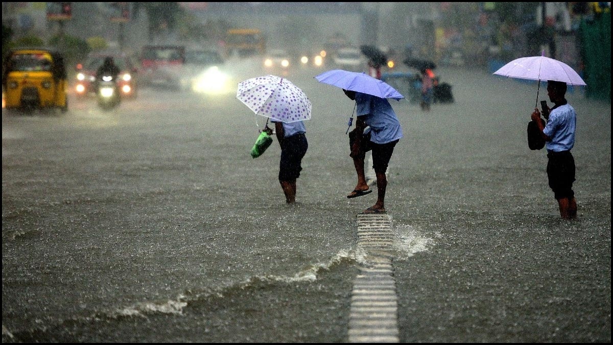
Chennai to witness heavy showers once again!
Tuesday, November 23, 2021 • Tamil


Listen to article
--:-- / --:--
1x

This is a beta feature and we would love to hear your feedback?
Send us your feedback to audioarticles@vaarta.com
Send us your feedback to audioarticles@vaarta.com


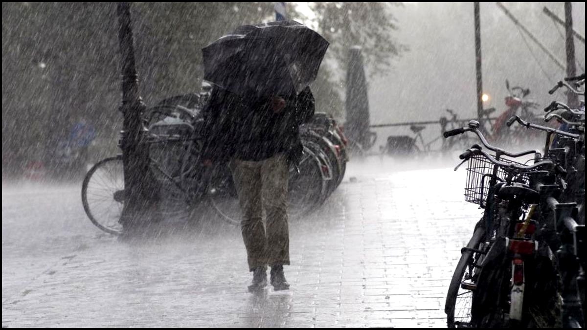
The regional meteorological centre here has forecast heavy to very heavy rains over coastal TN, Puducherry and Karaikal on Wednesday and Thursday as the result of a new weather system is heading towards Tamil Nadu.
The Indian Meteorological Department (IMD) on Sunday said a cyclonic circulation is over the South Andaman Sea and its neighbourhood at a lower tropospheric level. According to the Meteorological Department’s bulletin, the low-pressure area is likely to form over the southwest Bay of Bengal during the next 48 hours. It is likely to move west northwestwards and cross Sri Lanka and south Tamil Nadu. A trough runs from the cyclonic circulation to the Tamil Nadu coast.
Officials said the prevailing weather system may bring thunderstorms, with heavy rain, at isolated places over Tirunelveli, Thoothukudi, Madurai and Ramanathapuram districts, on Tuesday and Wednesday. “Chennai too will get rainfall after Thursday. But its intensity will be clear only when the weather system moves closer. Thunderstorms are common during the northeast monsoon,” said N. Puviarasan, director, Area Cyclone Warning Centre, Chennai.
On Monday, heavy rain is likely in Coimbatore, Krishnagiri, Erode, Pudukkottai, Ariyalur, Perambalur, Cuddalore, Karur, Tiruchy, and the delta districts. In the 24 hours ending 8.30 am on Sunday, Puducherry received 10 cm of rainfall.
Follow us on Google News and stay updated with the latest!
 Follow


More News


Headlines