North Korea's Alleged Satellite Surveillance of U.S. Sites Raises Questions


Send us your feedback to audioarticles@vaarta.com


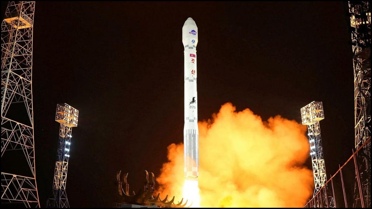
North Korea asserted on Tuesday that its newly launched reconnaissance satellite had taken snapshots of significant US military locations like the White House, Pentagon, and global military installations. However, doubts persist regarding the satellite's actual technological capacities.
According to Pyongyangâs Korea Central News Agency, dictator Kim Jong Un personally inspected the images captured late Monday, including those of Norfolk Naval Station, Newport News Dockyard, and an airfield in Virginia.
This reclusive state has a track record of exaggerating its military and technological accomplishments. In May, North Korea declared its maiden attempt to launch a spy satellite into orbit a failure, crashing into the Yellow Sea. Subsequently, South Korea retrieved the satellite, revealing its technology wasnât advanced enough for effective military reconnaissance, despite North Korea's claims.

Although the latest launch might capture general imagery, South Korea doubts its efficacy as a reconnaissance tool, equating its imaging abilities to that of Google Earth. Experts suspect the satellite's camera is limited to identifying large targets like warships or military bases.
North Korea claimed its satellite photos revealed US and British naval carriers at Norfolk Naval Station and Newport News Dockyard, yet this information is publicly accessible. The HMS Prince of Wales, for instance, is known to be in Norfolk according to online fleet trackers.
Despite lacking third-party verification of the satellite's capabilities and no release of the alleged images, defense analysts suggest the launch itself enhances North Koreaâs nuclear, space, and ballistic capabilities. Notably, launching the satellite using ballistic missile technology breaches UN Security Council resolutions.
Follow us on Google News and stay updated with the latest!


 Follow




















Comments